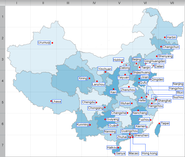
Geography and climate of Zhejiang Province
Zhejiang consists mostly of hills, which account for about 70% of its total area. Altitudes tend to be highest to the south and west, and the highest peak of the province, Huangmaojian Peak (1921 m), is found in the southwest. Mountain ranges include the Yandang Mountains, Tianmu Mountains, Tiantai Mountains, and Mogan Mountains, which traverse the province at altitudes of about 200 to 1000 m.
Valleys and plains are found along the coastline and rivers. The north of the province is just south of the Yangtze (Changjiang)delta, and consists of plains around the cities of Hangzhou, Jiaxing, and Huzhou, where the Grand Canal of China enters from the northern border to end at Hangzhou; another relatively flat area is found along the Qujiang River, around the cities of Quzhou and Jinhua. Major rivers include the Qiantang River and the Oujiang River. Most rivers carve out valleys in the highlands, with plenty of rapids and other features associated with such topography. Famous lakes include the West Lake of Hangzhou and the South Lake of Jiaxing.
There are over three thousand islands along the ragged coastline of Zhejiang. The largest, Zhoushan Island, is Mainland China’s third largest island, after Hainan and Chongming. There are also many bays, Hangzhou Bay being the largest.
Zhejiang has a humid subtropical climate with four distinct seasons. Spring starts in March and is rainy and weather is changeable. Summer, from June to September is long, hot and humid. Fall is generally dry, warm and sunny. Winters are short but cold except in the far south. Average annual temperature is around 15 to 19°C(59 to 66F), average January temperature is around 2 to 8°C(36 to 46F), and average July temperature is around 27 to 30°C(81 to 86F). Annual precipitation is about 1000 to 1900 mm. There is plenty of rainfall in early summer, and by late summer Zhejiang is directly threatened by typhoons forming in the Pacific.
| PREV:Zhejiang Province Profile | Next:Economy of Zhejiang Province |


