Zhejiang Province Profile
Zhejiang is an eastern coastal province of the People’s Republic of China, with an area of 39,300 sq mi (101,800 sq km). The word Zhejiang (crooked river) was the old name of the Qiantang River, which passes through Hangzhou, the provincial capital. The name of the province is often abbreviated to "Zhe".
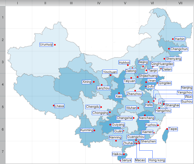
Zhejiang borders Jiangsu province and Shanghai municipality to the north, Anhui province to the northwest, Jiangxi province to the west, and Fujian province to the south; to the east is the East China Sea, beyond which lie the Ryukyu Islands of Japan.
History
Zhejiang, part of the kingdom of Wu, passed into the Chinese orbit in the 3d cent. B.C. It flourished in the 12th and 13th cent, as the center of the Southern Song Dynasty. The Ming Dynasty which drove out the Mongols in 1368 was the first to establish Zhejiang Province, and the borders of the province have since changed little. It passed to Manchu control in 1645. Zhejiang was devastated in the Taiping Rebellion (1850–1865), was partly occupied by the Japanese in the Second Sino-Japanese War, and fell to the People’s Republic of China in 1949.
| PREV:Huangnan Tibetan Aut. Prefecture | Next:Geography and climate of Zhejiang |