Geography and climate of Jilin
Jilin is located in the northeastern part of China, with an area of 72,200 sq mi (187,000 sq km). The name "Jilin" probably originates from Girin ula, a Manchu term meaning "along the river"; this was transcribed into Jilin wula in Chinese, and then shorted to Jilin. The literal meaning of the Chinese characters for "Jilin" is "auspicious forest".
Geography and climate
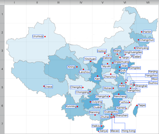
Jilin borders North Korea and Russia to the east, Heilongjiang to the north, Liaoning to the south, and Inner Mongolia to the west.
Jilin is highest in altitude in the southeast, and drops gently towards the northwest. The Changbai Mountains run through its southeastern regions, and contains the highest peak of the province, Baiyun Peak at 2691 m. Other mountain ranges include the Jilinhada Mountains, Zhang Guangcai Mountains, and Longgang Mountains.
Jilin is drained by the Yalu and Tumen Rivers in the extreme southwest, by tributaries of the Liao River along the southern border, and by the Songhua and Nen rivers, both eventually flowing into the Amur.
Jilin has a northerly continental monsoon climate, with long, cold winters and short, warm summers. Average January temperatures range from -20 to -14°C(-4 to 7℉). Rainfall averages at 350 to 1000 mm.
| PREV:History of Jilin | Next:Administrative divisions and Economy of |