Geography and climate of Shanxi
Geography and climate
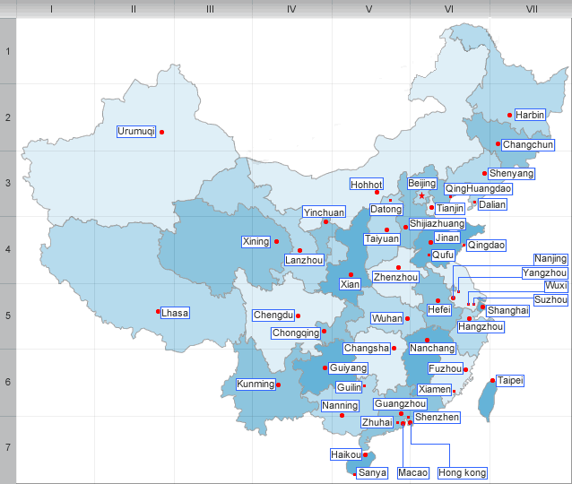
Shanxi borders Hebei to the east, Henan to the south, Shaanxi to the west, and Inner Mongolia to the north. The capital of the province is Taiyuan.
Shanxi is located on a plateau, which is in turn made up of higher ground to the east (Taihang Mountains) and the west (Lüliang Mountains), and a series of valleys in the center through which the Fen River runs. The highest peak is Mount Wutai in northeastern Shanxi at an altitude of 3058 m. The Great Wall of China forms most of the northern border of Shanxi with Inner Mongolia.
The Huang He (Yellow River) forms the western border of Shanxi with Shaanxi. The Fen and Qin rivers, tributaries of the Huang He, run north-to-south through the province, and drain much of its area. The north of the province is drained by tributaries of the Hai River, such as Sanggan and Hutuo rivers. The largest natural lake in Shanxi is Xiechi Lake, a salt lake near Yuncheng in southwestern Shanxi.
Shanxi has a continental monsoon climate, and is rather arid. Average January temperatures are below 0 °C(32℉), while average July temperatures are around 21 - 26 °C(38-47℉). Annual precipitation averages around 350-700 mm, with 60% of it concentrated between June and August.
| PREV:Tourism of Hebei | Next:History of Shanxi |