Pingliang Municipality Overview
Chinese Name: 平凉市 (píng liáng shì)
Nationalities: Han
Administrative Division: 1district (Kongdong); 6 counties (Jingchuan, Lingtai, Chongxin, Huating, Zhuanglang, Jingning)
Seat of the City Government: No.141, West Street, Kongdong District, Pingliang City
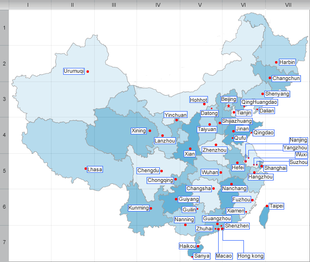
Pingliang is in the east of Gansu Province and neighbors Ningxia Hui Autonomous Region in the north and Shaanxi Province in the south and east.Pingliang City, Located at the geometrical center of three capital cities of Xi'an, Lanzhou and Yinchuan, is an important area at the eastern end of the northern branch of the ancient Silk Road. It covers an area of 11,325 sq km. Population of the city amounted to 2.3 million by the end of 2007.
Pingliang enjoys temperate semi-dry continental monsoon climate. Average temperature of the city is between 8.5 Celsius. It is warmer and wetter in the eastern area of the city compared with the western. Average annual precipitation is 511 mm, while average annual evaporation amounts to 1430 mm.
Pingliang is one of the important birthplaces of the Chinese nation and one of the cradles of Chinese civilization. Dating back 200,000 and even 300,000 years ago, Chinese ancestors lived and procreated there.
More than 3,000 years ago, people prior to the Zhou Dynasty created advanced agro-farming culture in Jinghe River Valley, representing the beginning of agricultural civilization.
Pingliang is rich in natural resources. There are 15 main rivers running through the city with average annual runoff of 3.2 cubic meters. Reserves of mineral resources include oil, chromium, vanadium, tungsten, gold, asbestos, coal, lead, zinc, copper, iron, limestone, glauber's salt, magnesium and silica.
| PREV:Longnan Municipality Overview | Next:Qingyang Municipality Overview |


