Geography and climate of Hubei
Geography and climate
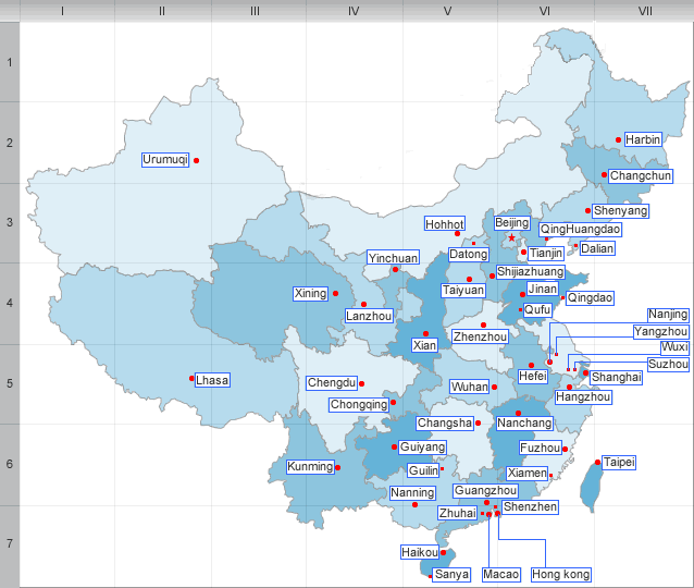
Hubei borders Henan to the north, Anhui to the east, Jiangxi to the southeast, Hunan to the south, Chongqing to the west, and Shanxi to the northwest.
The Jianghan Plain takes up most of central and eastern Hubei, while the west and the peripheries are more mountainous, with ranges such as the Wudang Mountains, the Jingshan Mountains, the Daba Mountains, and the Wushan Mountains. The Dabie Mountains lie to the northeast, on the border with Henan and Anhui; the Tongbai Mountains lie to the north on the border with Henan; to the southeast the Mufu Mountains form the border with Jiangxi. The eastern half of the Three Gorges (Xiling Gorge and part of Wu Gorge) lies in western Hubei; the other half is in neighbouring Chongqing. The highest peak in Hubei is Shennong Peak, found in the Daba Mountains and in the forestry area of Shennongjia; it has an altitude of 3105 m.
The Yangtze River(Changjiang River)enters Hubei from the west via the Three Gorges; the Hanshui enters from the northwest. These two rivers meet at Wuhan. Thousands of lakes dot the landscape, giving Hubei the name of: "Province of Lakes"; the largest of these lakes are Lake Liangzi and Lake Honghu. The Danjiangkou Reservoir lies on the border between Hubei and Henan.
Hubei has a subtropical climate with distinct seasons. Hubei has average temperatures of 1 - 6 °C (34-43℉)in winter and of 24 - 30 °C (75-86℉)in summer; punishing temperatures of 40 °C(104℉) or above are famously associated with Wuhan.
| PREV:Economy and Tourism of Guangxi | Next:Administrative divisions of Hubei |


