Geography and climate of Guangdong
Guangdong is a province on the south coast of the People’s Republic of China,which has an area of 76,100 sq mi (197,100 sq km).
"Guang" itself means "expanse" or "vast", and has been associating with the region from the Western Jin Dynasty onwards. "Guangdong" and neighboring Guangxi literally mean "expanse east" and "expanse west". Together, Guangdong and Guangxi are called the "Dual-Guangs”.
The modern abbreviation Yue is related to the Hundred Yue, a collective name for various peoples that lived in Guangdong and other areas in ancient times
Geography and climate
Guangdong faces the South China Sea to the south and has a total of 4,300 km of coastline. Leizhou Peninsula is on the southwestern end of the province. There are a few inactive volcanoes on Leizhou Peninsula. The Pearl River Delta is the convergent point of three upstream rivers: the East River, North River, and West River. The river delta is filled with hundreds of small islands. The province is geographically separated from the north by a few mountain ranges collectively called the Southern Mountain Range. The highest point in the province is about 1,600 meters above sea level.
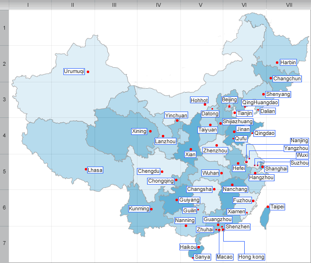
Guangdong borders Fujian province to the northeast, Jiangxi and Hunan provinces to the north, Guangxi autonomous region to the west, and Hong Kong and Macau Special Administrative Regions to the south. Hainan province is offshore across from the Leizhou Peninsula.
Guangdong has a humid subtropical climate (tropical in the far south), with short, mild, dry, winters and long, hot, wet summers. Average daily highs in Guangzhou in January and July are 18℃ (64℉) and 33℃(91℉) respectively, although the humidity makes it feel much hotter in summer. Frost is rare on the coast but may happen a few days each winter well inland.
| PREV:History of Guangdong | Next:Economy of Guangdong |