| ||||||||
| ||||||||
History
Throughout most of history and time, central and western Inner Mongolia, especially the Hetao region, alternated in control between Chinese agriculturalists in the south and Xiongnu, Xianbei, Khitan, Nurchen, and Mongol nomads of the north. Eastern Inner Mongolia is properly speaking a part of Manchuria, and its historical narrative consists more of alternations between different groups there rather than the struggle between nomads and Chinese agriculturalists.
The Chinese Communist Party established the Inner Mongolia Autonomous Region in 1947.Initially the autonomous region included just the Hulunbuir region, eventually near all areas with sizeable Mongol populations were incorporated into the region, giving present-day Inner Mongolia its elongated shape.
Geography and climate
Inner Mongolia is largely steppe country that becomes increasingly arid toward the Gobi Desert in the west. It borders, from east to west, the provinces of Heilongjiang, Jilin, Liaoning, Hebei, Shanxi, Shaanxi, Ningxia Hui Autonomous Region, and Gansu, while to the north it borders Mongolia and Russia.
The climate is continental with cold dry winters and hot summers.
 Hulun Buir Hulun Buir
|
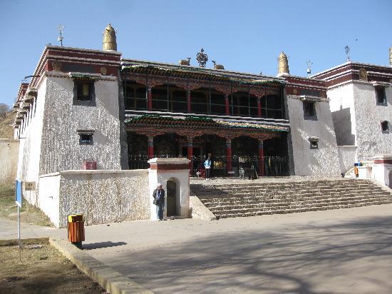 Baotou Baotou
|
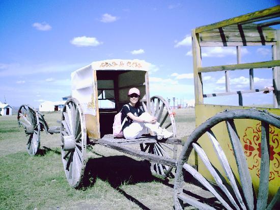 Hohhot Hohhot
|
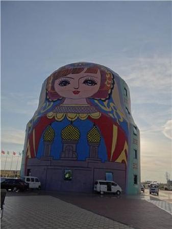 Hulun Buir Hulun Buir
|
 Baotou Baotou
|
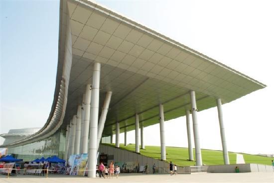 Hohhot Hohhot
|
Arxan City(阿尔山市)
Bayan Nur City(巴彦淖尔市)
Baotou City(包头市)
Chifeng City(赤峰市)
Dengkou County(磴口县)
Duolun County(多伦县)
Ergun City(额尔古纳市)
Erenhot City(二连浩特市)
Fengzhen City(丰镇市)
Genhe City(根河市)
Guyang County(固阳县)
Hohhot City(呼和浩特市)
Hulun Buir City(呼伦贝尔市)
Huolin Gol City(霍林郭勒市)
Horinger County(和林格尔县)
Huade County(化德县)
Kailu County(开鲁县)
Linxi County(林西县)
Liangcheng County(凉城县)
Manzhouli City(满洲里市)
Ningcheng County(宁城县)
Ordos City(鄂尔多斯市)
Qingshuihe County(清水河县)
Shangdu County(商都县)
Tongliao City(通辽市)
Togtoh County(托克托县)
Tuquan County(突泉县)
Ulanqab City(乌兰察布市)
Ulan Hot City(乌兰浩特市)
Wuhai City(乌海市)
Wuyuan County(五原县)
Wuchuan County(武川县)
Xilinhot City(锡林浩特市)
Xinghe County(兴和县)
Yakeshi City(牙克石市)
Zalantun City(扎兰屯市)
Zhuozi County(卓资县)
 People′s Hospital
 Longbao Hostel
 Tianjiao Hotel
 Farmer Restaurant
 Sanqianli Barbecue
 Kaimai Fala Accounting Training Base
 Hongqi Cinema
 Aowei Health Leisure Plaza
 Alxa League State Taxation Bureau
 Tumed Youqis State Taxation Bureau
 Inner Mongolia Bairin Zuoqis State Taxa
 Inner Mongolia Harqin Qi State Taxation
 Inner Mongolia Hure Banners State Taxati
 Culture of Inner Mongolia
 Ethnic Group and Tourism of Inner Mongol
 Economy of Inner Mongolia
 Administrative divisions of Inner Mongol
 History , Geography and climate of Inne

