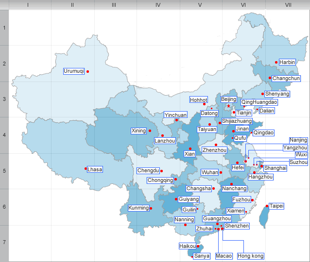
History and geography of Gansu
History
In ancient times, it was an important strategic outpost and communications link, as the Hexi corridor runs along the "neck" of the Gansu province. The Han dynasty extended the Great Wall across this corridor, also building the strategic Yumenguan (Jade Gate Pass, near Dunhuang) and Yangguan fort towns along it. The Ming dynasty also built the Jiayuguan outpost in Gansu.
Situated along the Silk Road, Gansu was an economically important province and a cultural transmission path as well. Temples and Buddhist grottoes such as those at Mogao Caves and Maijishan Caves contain artistically and historically revealing murals.
Geography
Gansu lies between Qinghai, Inner Mongolia, and the Huangtu Plateaus, and borders Mongolia to the north and Xinjiang to the west. The Huanghe River passes the southern part of the province.
The majority of Gansu’s land is more than 1 km above sea level. The landscape in Gansu is very mountainous in the south and flat in the north. The mountains in the south are part of the Qilian mountain range. At 5,547 meters high, Qilian Shan Mountain is Gansu’s highest elevation. It is located at latitude 39°N and longitude 99°E.Part of the Gobi Desert is located in Gansu.
| PREV:Administration divisions Gansu | Next:Economy,Ethnic group and Culture of |


