Geography and climate of Jiangxi
Geography and climate
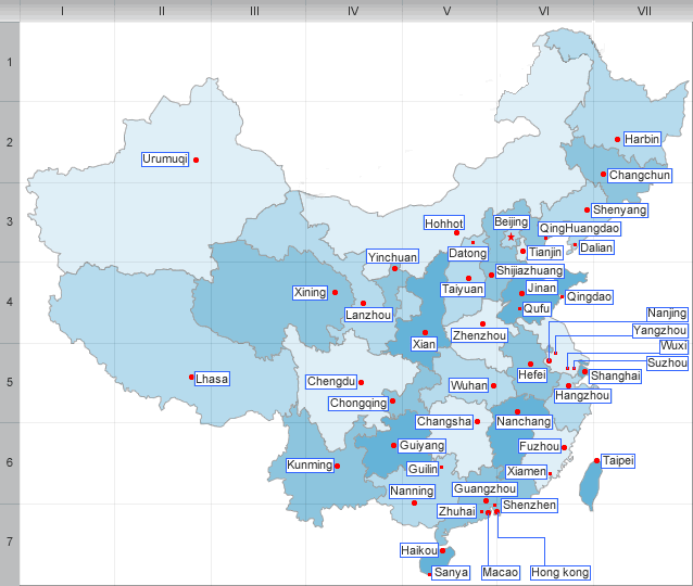
Jiangxi borders Anhui to the north, Zhejiang to the northeast, Fujian to the east, Guangdong to the south, Hunan to the west, and Hubei to the northwest.
Mountains surround Jiangxi on three sides, with the Mufu Mountains, Jiuling Mountains, and Luoxiao Mountains on the west; Huaiyu Mountains and Wuyi Mountains on the east; and the Jiulian Mountains and Dayu Mountains in the south. The southern half of the province is hilly with ranges and valleys interspersed; while the northern half is flatter and lower in altitude. The highest point in Jiangxi is Mount Huanggang in the Wuyi Mountains, on the border with Fujian. It has an altitude of 2157 m.
The Gan River dominates the province, flowing through the entire length of the province from south to north. It enters Lake Poyang in the north, the largest freshwater lake of China; that lake in turn empties into the Yangtze River, which forms part of the northern border of Jiangxi.
Jiangxi’s climate is subtropical. Average temperatures are about 3 to 9°C (37 to 48℉)in January and 27 to 31°C (81 to 88℉)in July. Annual precipitation is 1200 to 1900 mm.
| PREV:Administrative divisions of Jiangxi | Next:Economy and Ethnic group of Jiangxi |


