Geography and climate of Hebei
Geography and climate
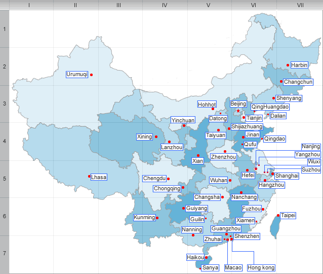
Hebei completely surrounds Beijing and Tianjin municipalities. It borders Liaoning to the northeast, Inner Mongolia to the north, Shanxi to the west, Henan to the south, and Shandong to the southeast. Bohai Bay of the Yellow Sea is to the east. A small part of Hebei, an exclave disjointed from the rest of the province, is wedged between the municipalities of Beijing and Tianjin.
Most of central and southern Hebei lies within the North China Plain. The western part of Hebei rises into the Taihang Mountains , while the Yan Mountains run through northern Hebei, beyond which lie the grasslands of Inner Mongolia. The Great Wall of China cuts through northern Hebei from west to east as well, briefly entering the border of Beijing Municipality, and terminates at the seacoast of Shanhaiguan in northeastern Hebei. The highest peak is Mount Xiaowutai in northwestern Hebei, with an altitude of 2882 m.
Hebei borders Bohai Sea on the east. The Hai He watershed covers most of the province’s central and southern parts, and the Luan He watershed covers the northeast. Not counting the numerous reservoirs to be found in Hebei’s hills and mountains, the largest lake in Hebei is Baiyangdian, located mostly in Anxin County.
Hebei has a continental monsoon climate, with temperatures of -16 to -3 °C(3 to 27℉) in January and 20 to 27 °C (68 to 81℉)in July, and with annual precipitation of 400 to 800 mm, occurring mostly in summer.
| PREV:Ethnic group and Tourism of Henan | Next:Administrative divisions of Hebei |


