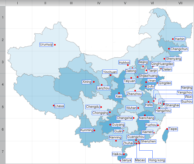
Geography and climate of Guangxi
Guangxi, full name Guangxi Zhuang Autonomous Region is a Zhuang autonomous region of the People’s Republic of China,which has an area of 85,100 sq mi (220,400 sq km)
"Guang" itself means "expanse", and has been associated with the region since the creation of Guang Prefecture in 226 AD. "Guangxi" and neighbouring Guangdong literally mean "Guang West" and "Guang East". Together, Guangdong and Guangxi are called the "Two Guangs".The abbreviation of the province is Gui, which comes from Guilin, a major city in the autonomous region.
Geography and climate
Located in the southern part of the country, Guangxi is bordered by Yunnan to the west, Guizhou to the north, Hunan to the northeast, and Guangdong to the southeast. It is also bounded by Vietnam in the southwest and the Gulf of Tonkin in the south.
Guangxi is a mountainous region, there are many mountains in this area. The famous mountains are The Nanling Mountains ,which can be found in the northeast border, with the Yuecheng Mountains and Haiyang Mountains being its shorter branching ridges. Many rivers cut valleys through the mountains.
Guangxi has a short coastline on the Gulf of Tonkin. Important seaports include Beihai, Qinzhou and Fangchenggang.
Guangxi has a subtropical climate. Summers are generally long and hot. Average annual temperature is 17 to 23°C(63 to 73℉), while average annual precipitation is 1250 to 1750 mm.
| PREV:Ethnic group,Culture and Tourism of | Next:History,Culture and Ethnic group of |


